16th May 2023
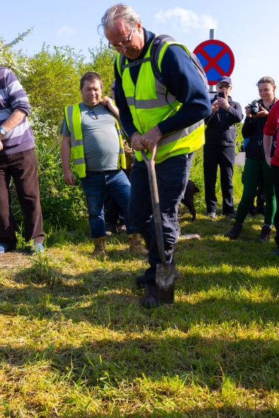
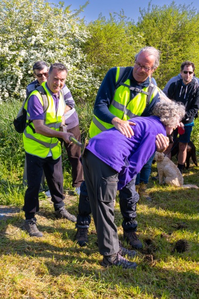
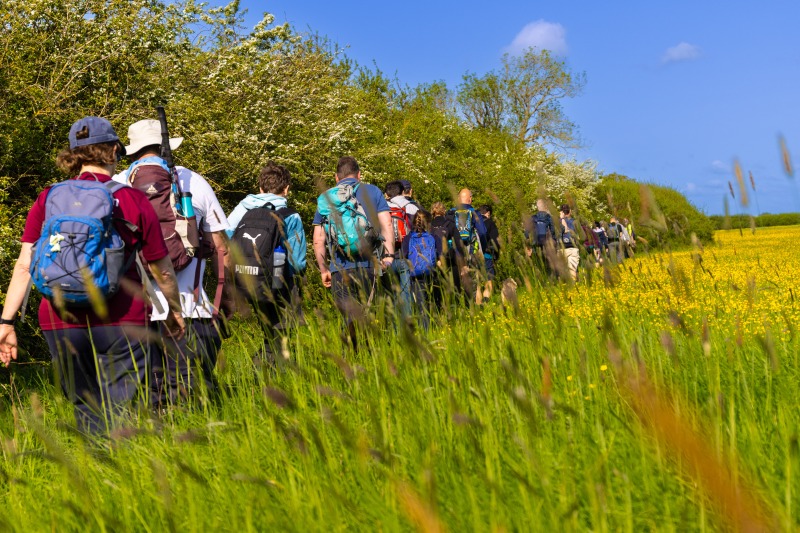
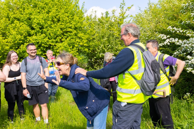
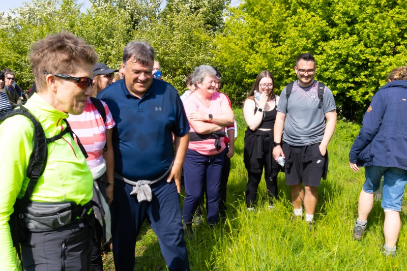
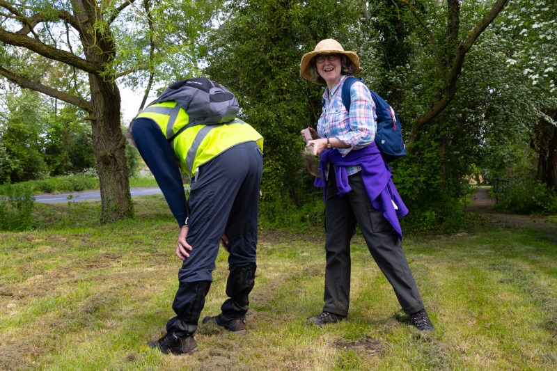
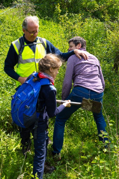
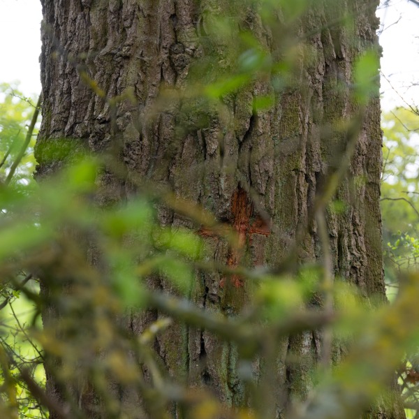
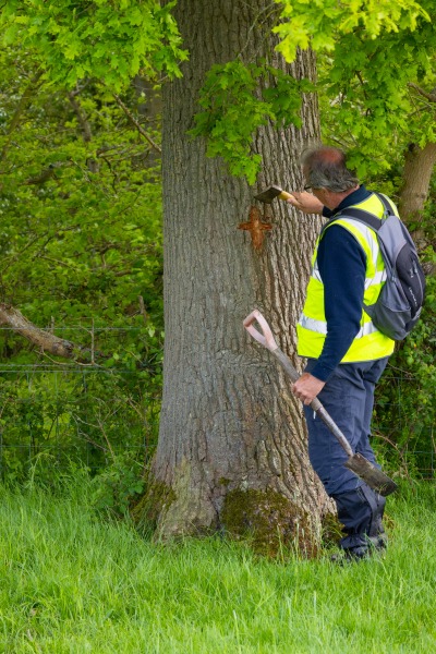
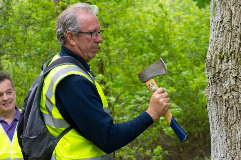
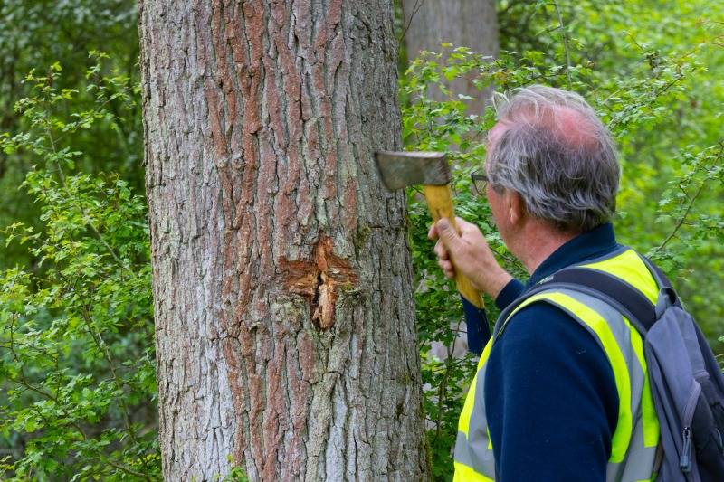
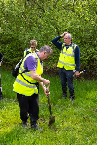
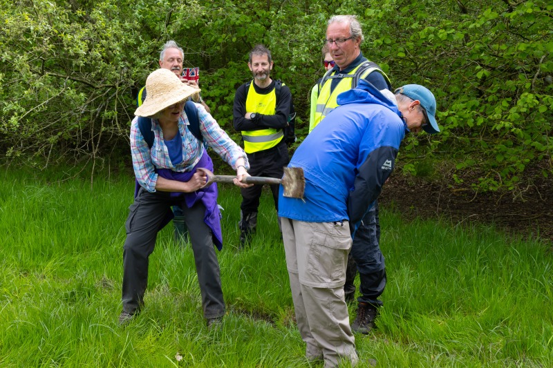
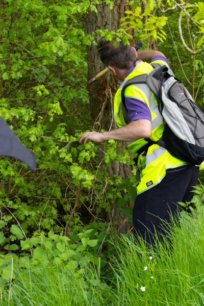
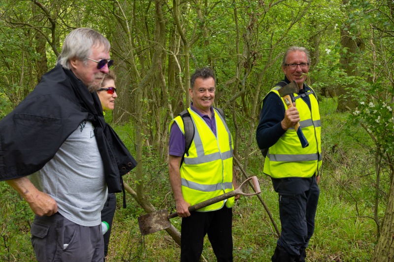
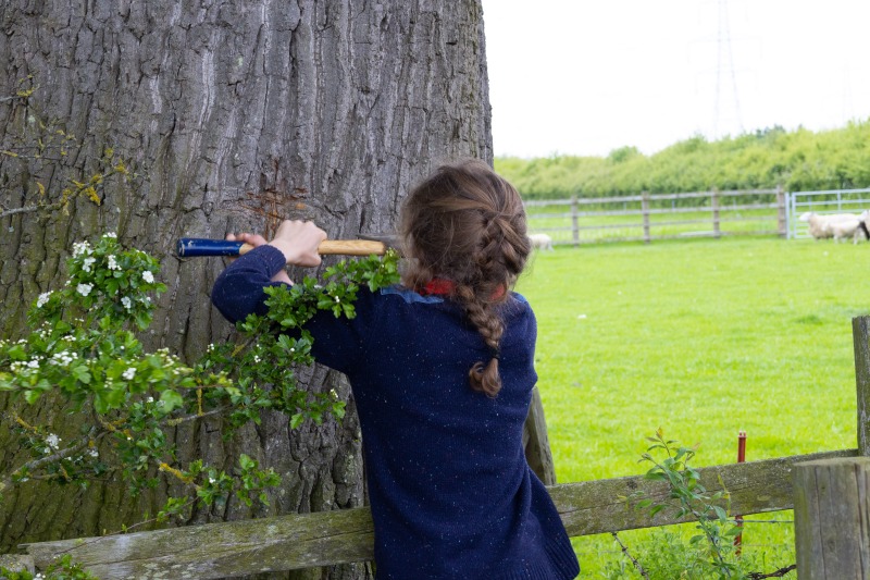
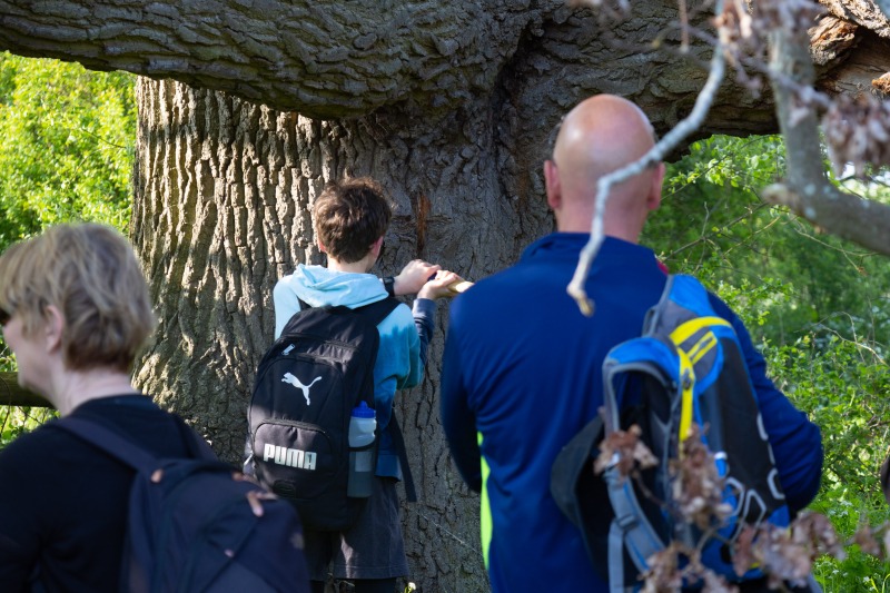
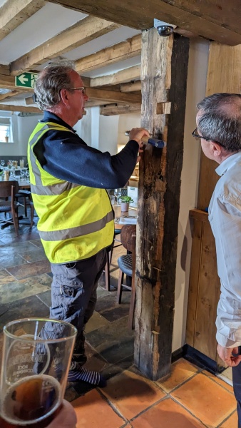
Beating the Bounds is a tradition where members of a parish walk around their parish boundary. In the case of Grendon Underwood this is around 15 miles. The walk is performed once every 7 years, and has a number of strange customs. Crosses are chopped into the bark of prominent trees on the boundary, failing a tree, a cross is cut into the soil.. Children are supposed to have their bottoms smacked with a spade at these locations. This is to remind them of where the boundaries are. In our woke society this becomes men and women having their turns at being beaten. Thankfully the police were not around, with their new arrest powers what would they have made of us, carrying spades ands axes along and across the HS2 line.
I have done the walk once before, twenty one years ago, in 2002., Yes I have pictures and a write up on this blog, Beating the Grendon Underwood Bounds 2002.
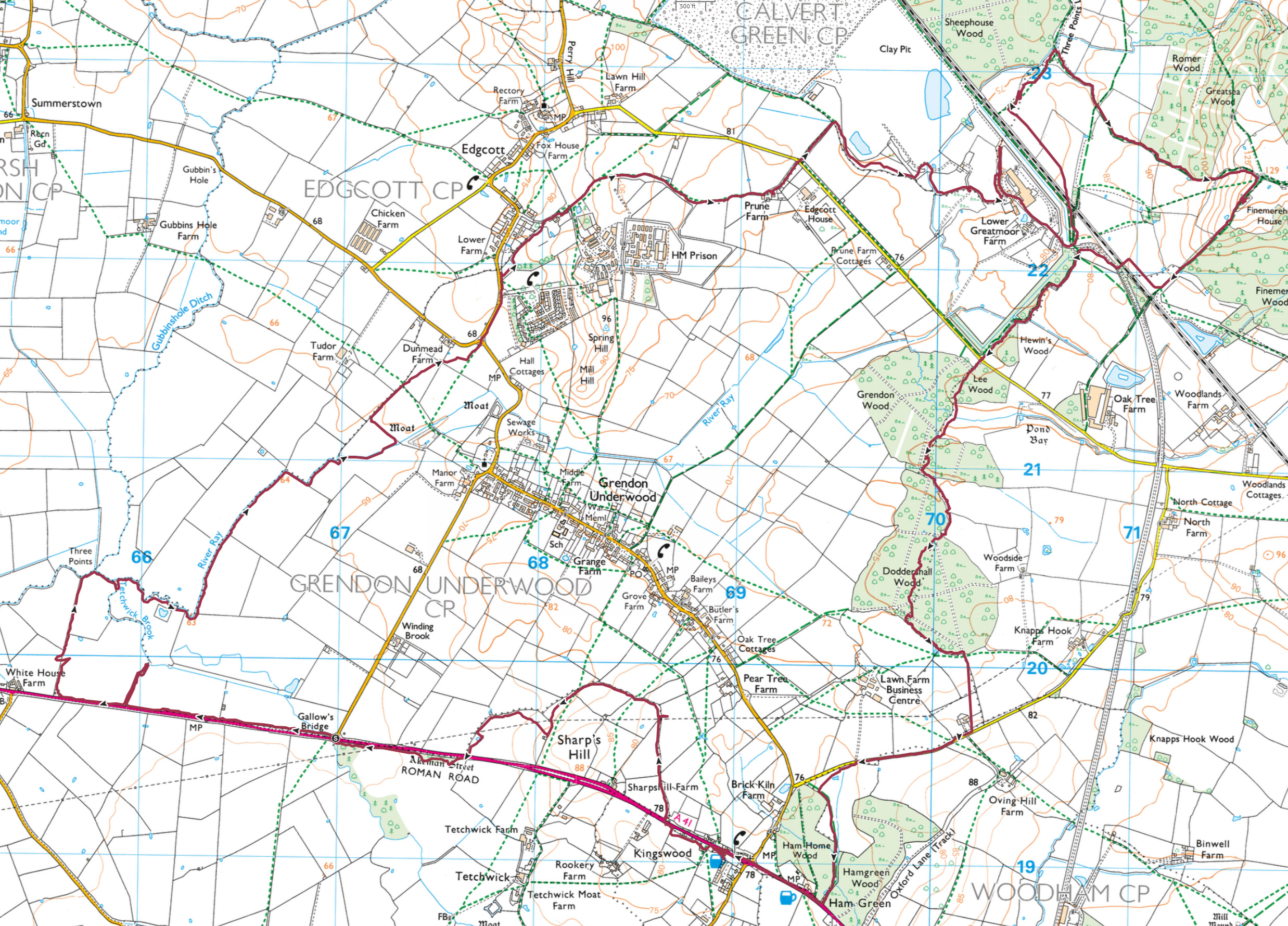
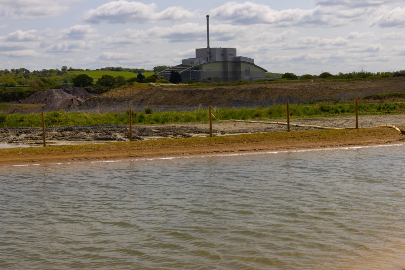
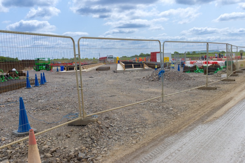
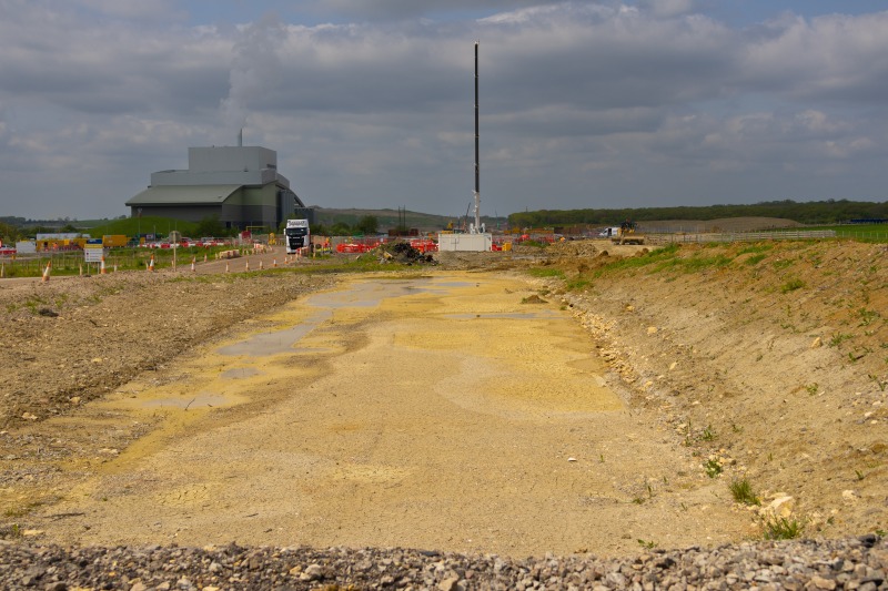
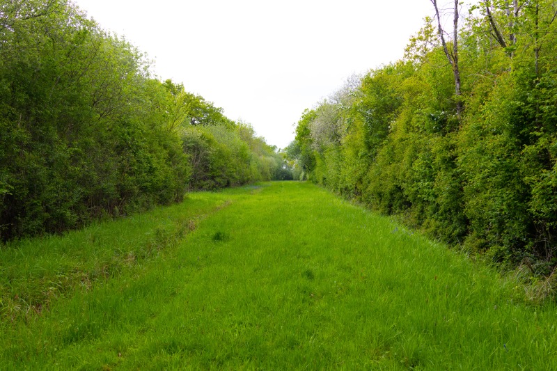
As you can see there were a couple of detours which added to the distance. Nesting birds neccesitated us to walk around the perimeter of the BBOWT nature reserve and not along the Tetchwick Brook. Because of newly laid concrete by HS2 we had to take a detour around the incinerator to cross HS2.
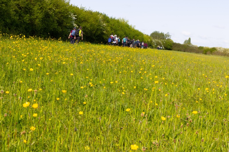
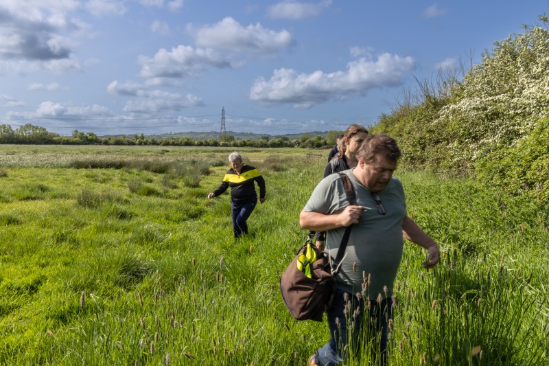
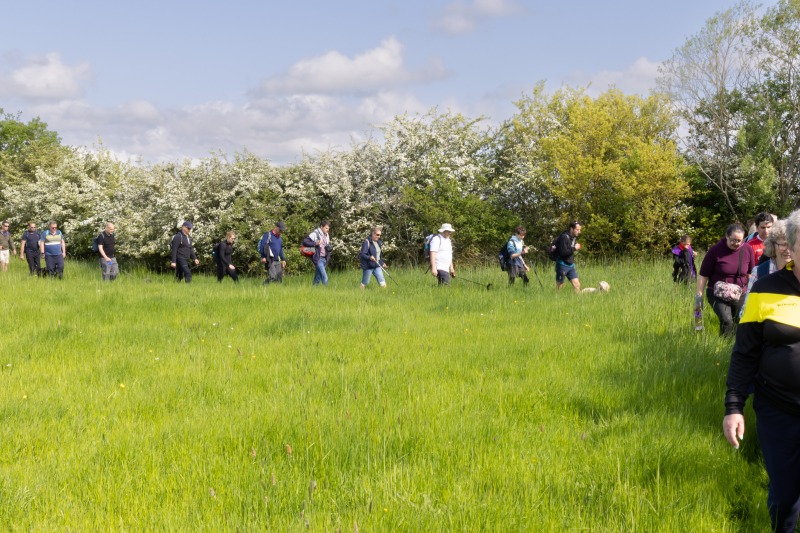
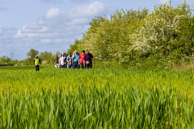
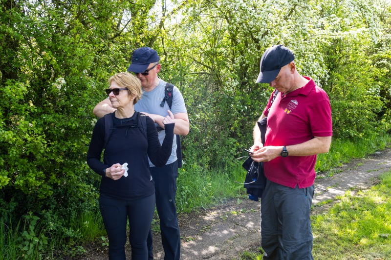
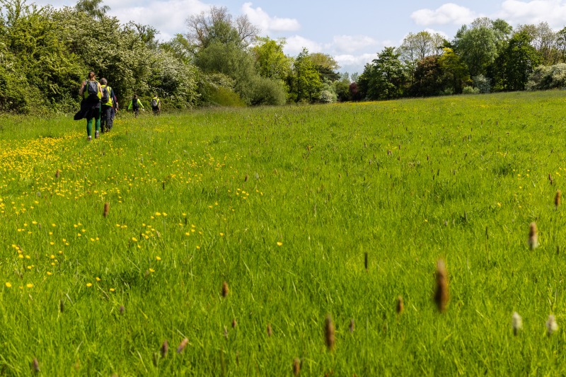
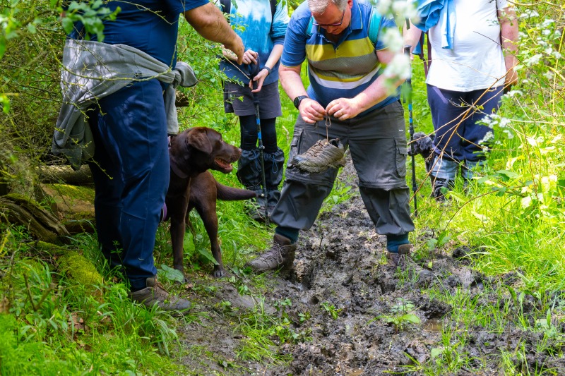
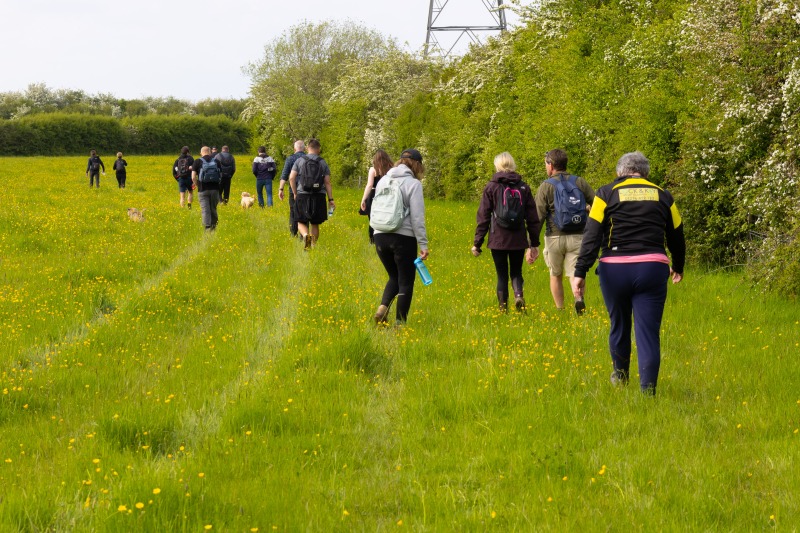
The day was an ideal walking day. No rain, a breeze and not too hot. The ground was wet underfoot, the recent sunny weather had not yet dried the land out,
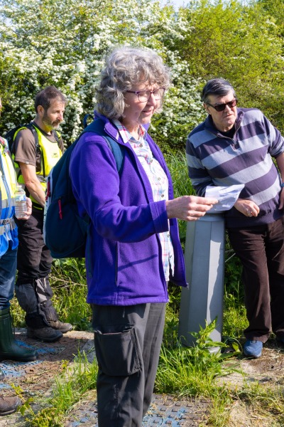
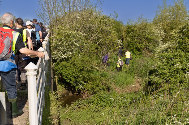
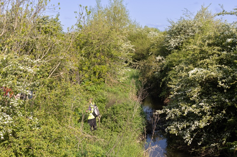
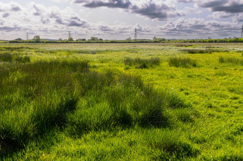
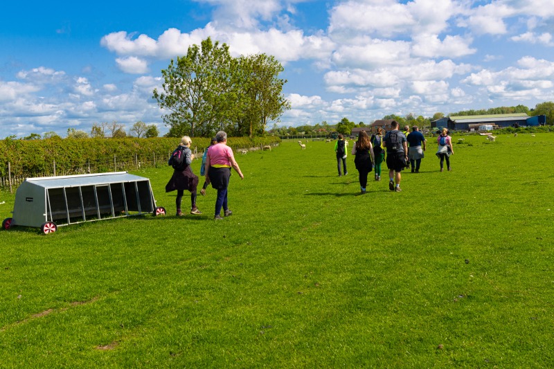
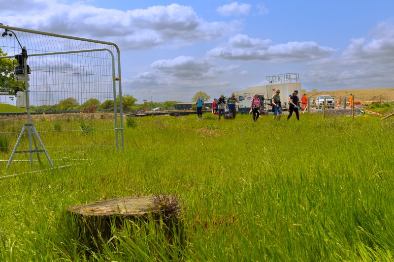
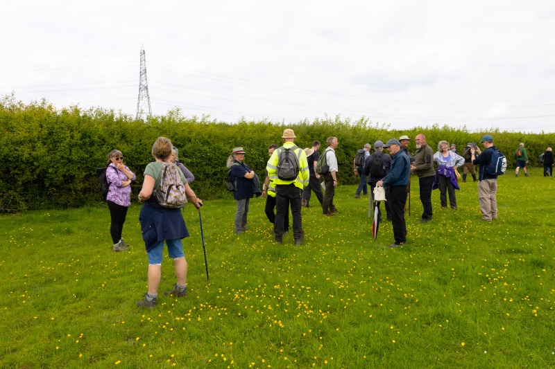
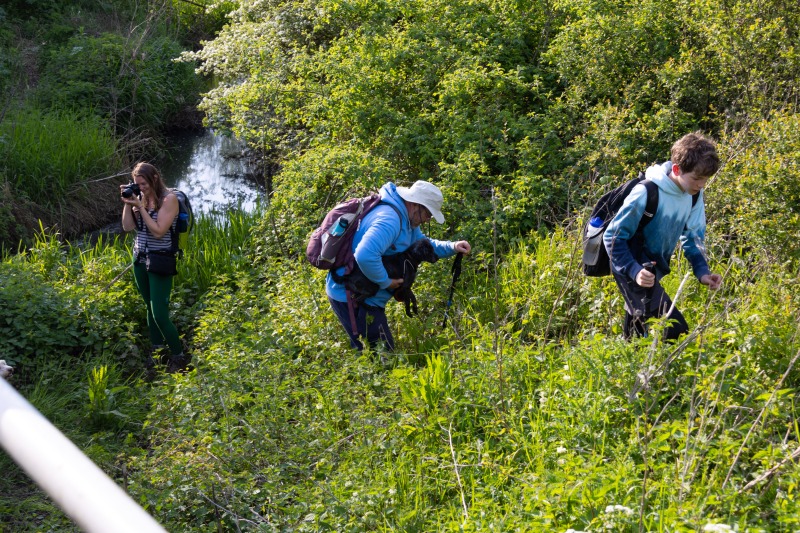
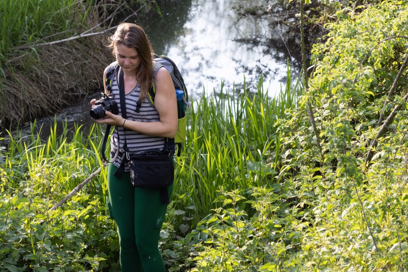
We started the walk at Gallow’s Bridge, walking around the perimeter of the reserve, being led by the BBOWT warden, Ilona. (As I said, the walk along the bounday of Tetchwick Brook not being allowed because of nesting birds.)
There were a further couple of short detours from the route before we reached Edgcott, these because of unsympathetic landowners.
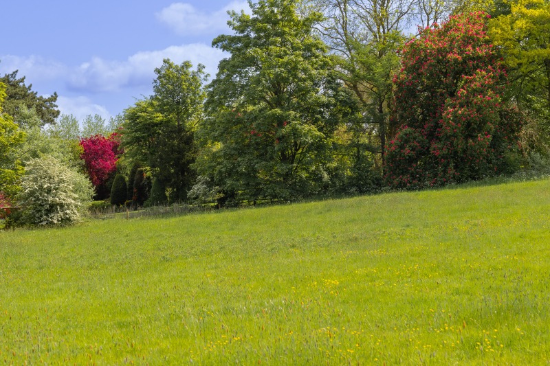
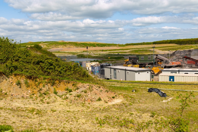
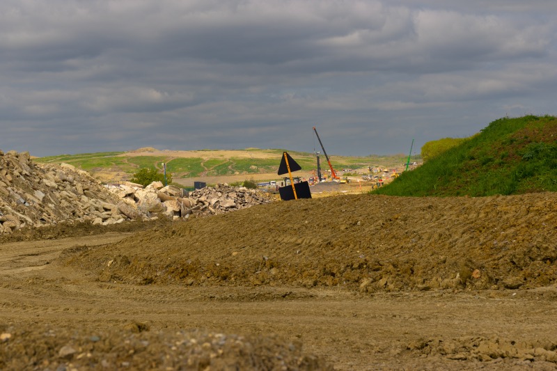
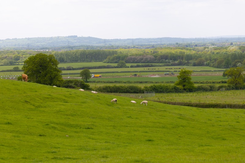
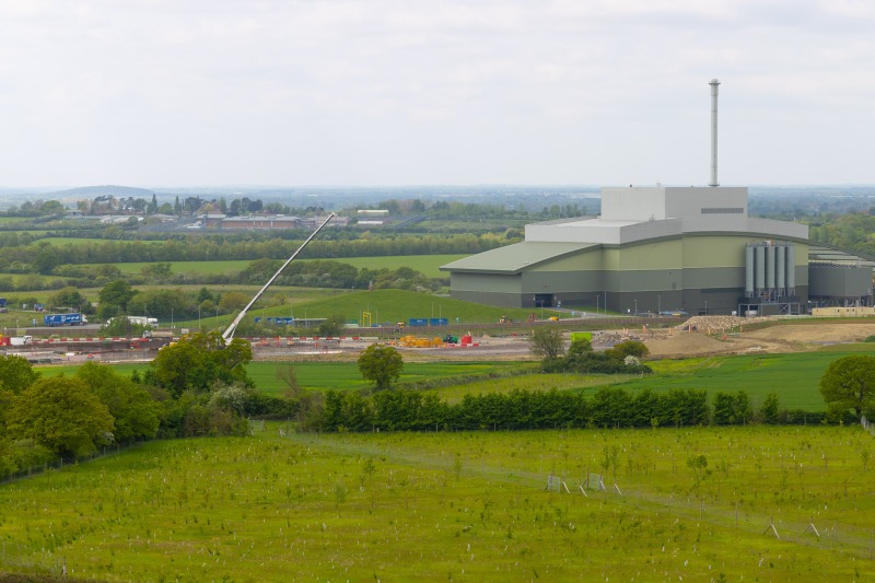
We stopped at Prune Farm for tea and cakes and then headed onwards to the Energy from Waste incinerator and HS2. A large detour around the incinerator, because of newly laid concrete, back on track we headed to Finemere Hill House for our packed lunches. Lovely views, but spolit by the Incinerator and the workings of HS2.
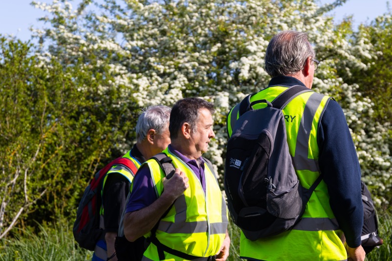
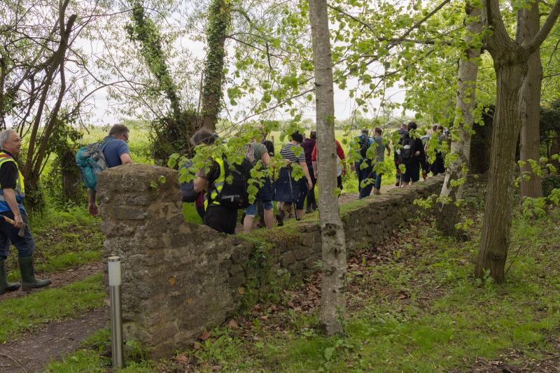
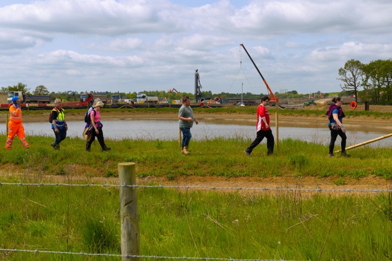
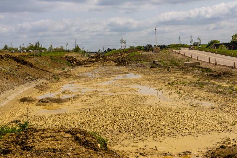
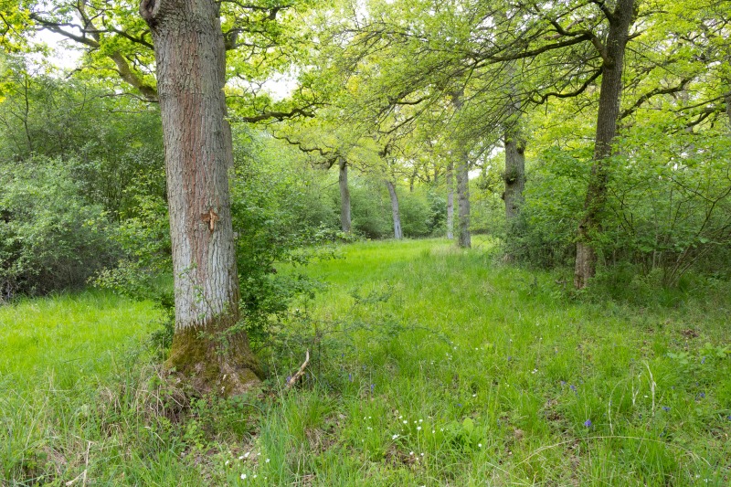
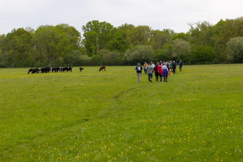
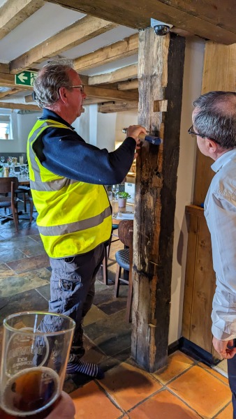
After lunch we headed on down the hill and across HS2, almost on the correct path. In all these crossinsg we were helped by four HS2 employees to ensure we didn’t tie ourselves to the trees. After that, we were back in wild Buckinghamshire walking through Grendon and Doddershall woods, stopping to view the King Tree. We met up with the Waddesddon boundary walkers at Ham Home Wood. Another welcome stop was in store for us, beer and sandwiches at Canaletto. The sandwiches kept on coming!
Now the final couple of miles and we were back at Gallow’s Bridge. in all we walked 25.4km, taking 9 hours and 20 minutes. We started at around 51 meters, and rose to a maximum altitude of 135 meters.
Google Map of the Walk
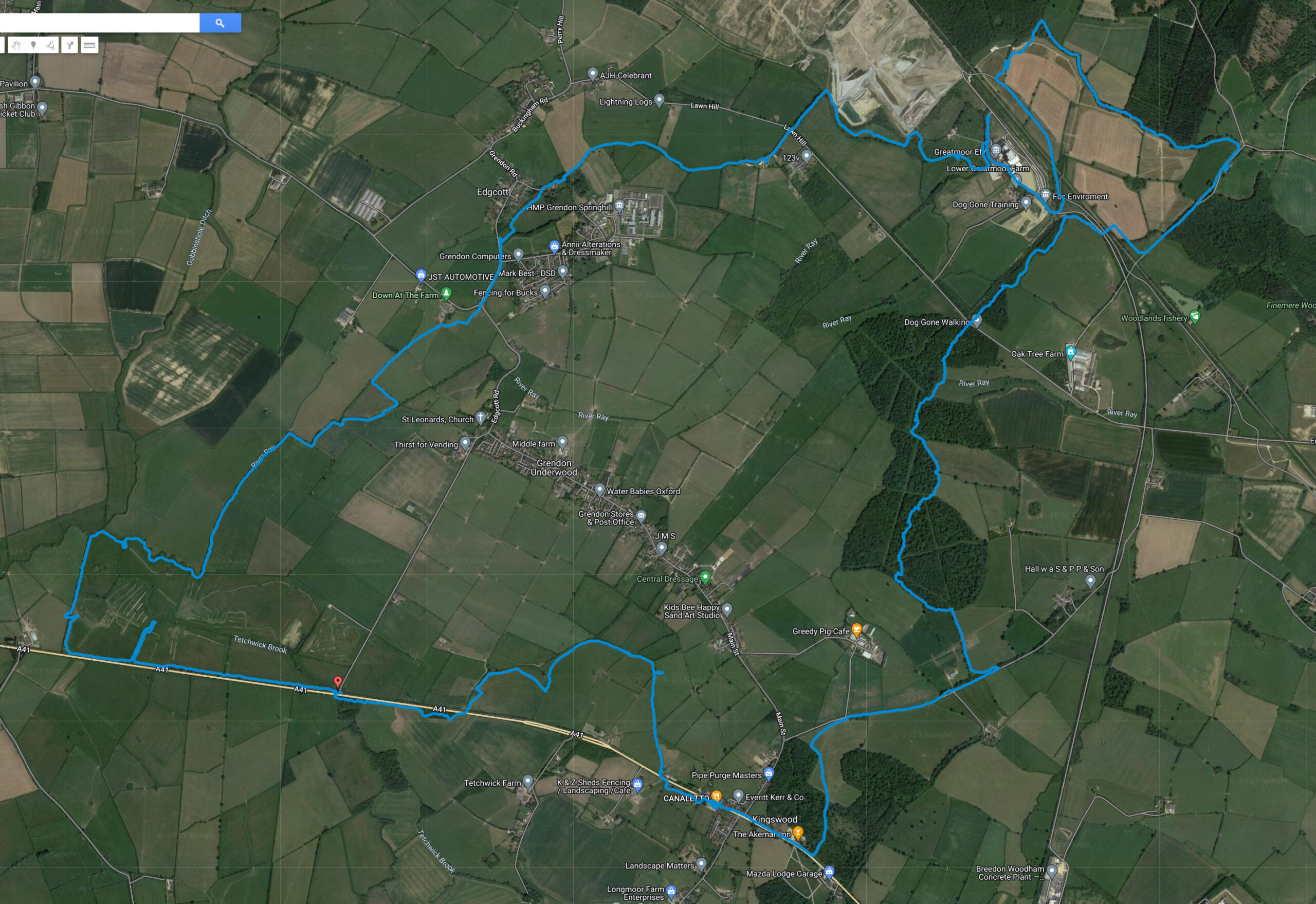
Link to the Google Map.
OS Map of the Walk
This is useful view, you can see where we strayed from the parish boundary. There is one tracking error in the route. I some how turned off the tracker as we exited Doddershall woods, and failed to reenable it untilwe had walked a 100 meters along the road. The Google maps track is correct.
